

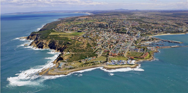
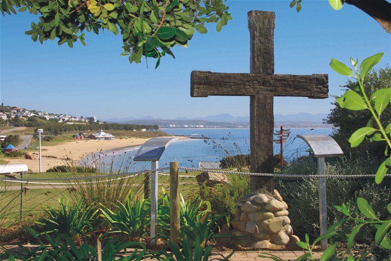
Explore Mossel Bay
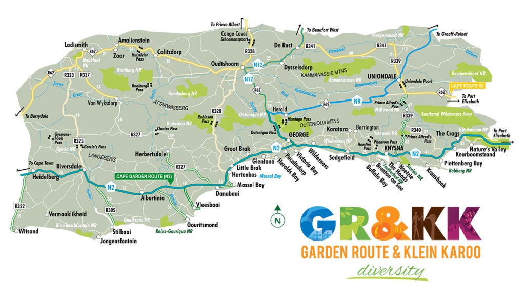
Mossel Bay is located in the heart of the Garden Route area in South Africa. It is also commonly known as the halfway mark between Cape Town and Port Elizabeth, both about 400km to either side. One can almost say it is right on the border of the “greener” ( foresty ) side and the more fynbos / Karoo ( semi desert ) side. The diversity in these two aspects of the Garden Route is what makes our area so unique and a paradise for visitors throughout the year.
The Rich History of Mossel Bay
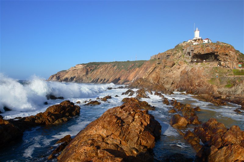
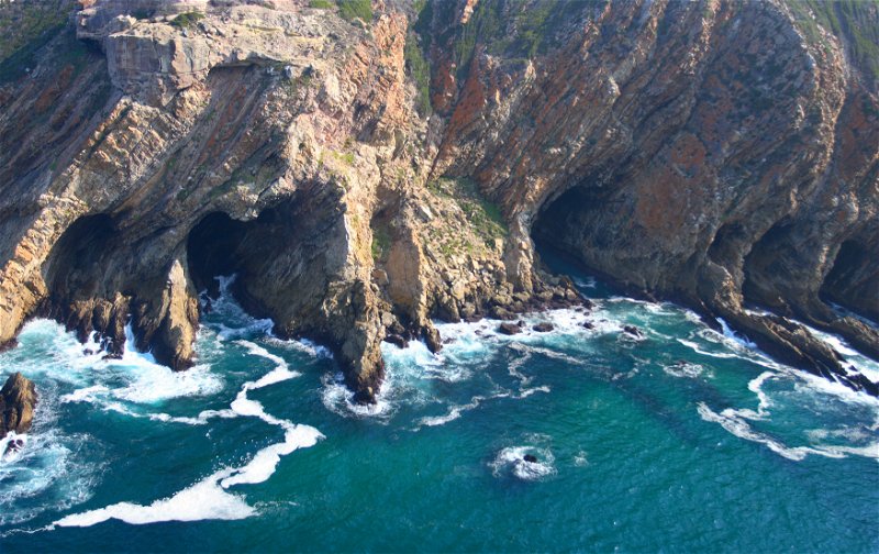
Mossel Bay lies at the Eastern corner of a great triangle of land, suitable for grazing and growing of crops, stretching 300 kilometres from West to East, from Bot River. It is bounded on the North by the Rivier Sonder End, Langeberg and the Outeniqua Mountains, and on the South by the Atlantic and Indian Oceans. The region measures about 100 kilometres northwards from Cape Agulhas to Storms Vlei at its widest point. The importance of Mossel Bay lies in the fact, east of George, the mountains draw very close to the coast. As a result, many rivers enter the sea directly without confluence, and the gradient is so steep that deep gorges are formed. Until comparatively recently wheeled traffic couldn’t follow the coastal belt from George to Humansdorp, so travelers were obliged to cross the Outeniqua mountains and continue their journey East through the Langkloof. To the West, there are no practicable harbours between False Bay and Mossel Bay. Mossel Bay was thus the only place where the land trade from the Little and Central Karoo, and the South Cape, could connect with maritime trade routes.
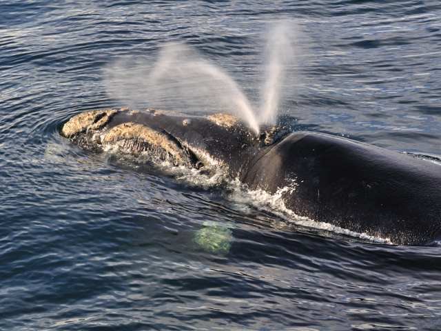
This connection began in the late fifteenth century when the Portuguese seafarers Dias and da Gama obtained sheep and cattle from the Khoi herders in Munro’s Bay. For tens of thousands of years the forbears of the Khoisan and the Khoikhoi lived in this region. Their legacy is the many beautiful place-names Attaqua, Hessequa, Outeniqua, Karoo, Gwaing, Gourits and many more. The Dutch East India Company’s stock traders who fanned out in search of meat for ships, and the later Trekboers, learned to speak the Khoi and San languages, and many place names in the region are direct Nederlands translations of the old Khoi names. The Khoi left no buildings, but the impressive rock fish-traps from Betty‘s Bay to the Gourits River are lasting memorials to the Strandloper people.
Threatened French and English intrusion led the D.E.I.C. to establish military outposts (buiteposte) at Mossel Bay, George and Plettenberg Bay in 1785, and so the first permanent buildings were erected in Mossel Bay, where the Maritime Museum now stands. An unlikely event supplied the first officer in charge. In 1772 Struensee, the liberal first minister of Denmark was overthrown in a coup d’état and executed. His private secretary, Hans Abue, fled to Holland and reached the Cape in the service of the Company. He served as Ensign and then Postholder at Mossel Bay for 33 years, dying in 1819 aged 78.
The French and English threat coincided with a wheat shortage. The Company persuaded Southern Cape farmers to plant wheat for shipment to Cape Town. Abue’s first task was to superintend the building of the Granary. In 1807 he superintended the replacement of the unsatisfactory flat roof with a pitched roof. This building, the sole remnant of the Company’s rule in the region, was demolished in 1955 in an act of official vandalism. It was rebuilt to the original design under the supervision of Mr. Gawie Fagan in 1988.
By 1730 there was a settled farming community in the district. The fall of The Company freed up economic activity and Mossel Bay achieved its destiny as a harbour handling imports of commodities and the export of agricultural produce. In 1811 the Cradock Pass above George was opened, giving direct access to the Little Karoo. This was replaced by the Montagu Pass in 1848. In 1820 the first buildings were erected in Church Street. English settlers began arriving. The Barry`s of Swellendam opened a warehouse in 1827. In 1847 they built a large warehouse, the first dateable stone building, now the Protea Hotel by Marriot. Between 1820 and 1902 importing firms built large stone warehouses in Bland Street and Church Street, of which ten still stand.
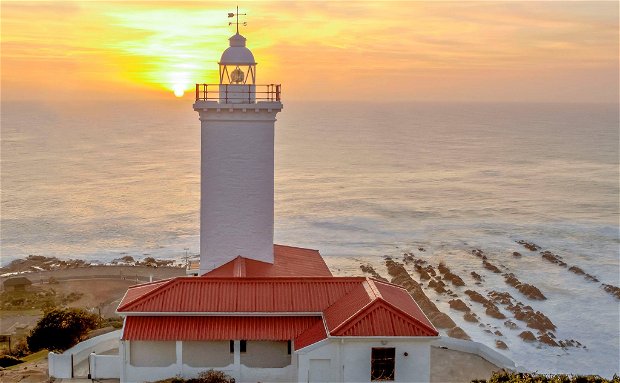
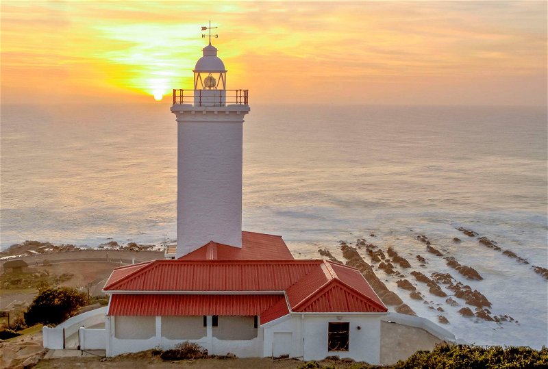
Mossel Bay thus acquired its characteristic appearance, the first mainly stone-built town in South Africa. Descendants of the Khoi, the Coloured community, moved into the town. Among other occupations, they worked as masons, carpenters, shoemakers, gardeners, stevedores, tailors, bakers and fishermen. Most lived in the Eastern and Northern parts of the old town. Building in stone went on. Whether it was a rich merchant’s house, a church, the town hall, the beach pavilion, a school, a quay, the lighthouse, a warehouse or a laborer’s cottage, all were built of stone, and beautifully built. First, the creamy-brown stone was used, but after 1900 the lovely pink stone was used for important buildings. The quality of the masonry improved with time until it reached its apogee in the magnificent tower and spire of St Peter`s Church.
Mossel Bay flourished in the absence of rail links. Diamonds were discovered in Kimberley in 1870, and Mossel Bay harbour was the nearest link to the sea. In 1885 both Cape Town and Port Elizabeth were connected by rail to the diamond fields, and Mossel Bay’s shipping trade began its slow decline. The coming of the railway in 1906, and the rail link to Oudtshoorn in 1915 removed the dependence of the Little Karroo on maritime commerce through Mossel Bay. The late Twentieth Century brought huge changes again, beyond the scope of this paper!
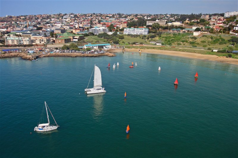
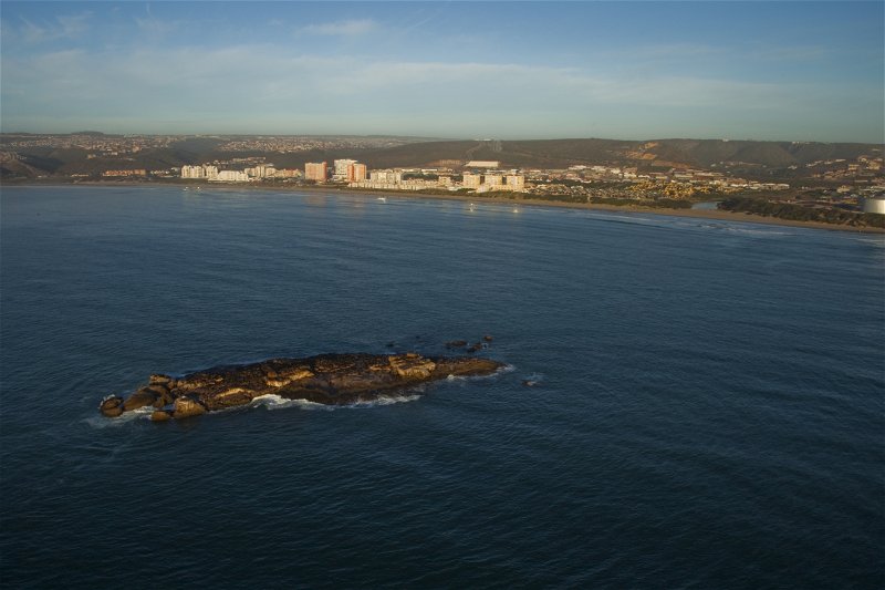
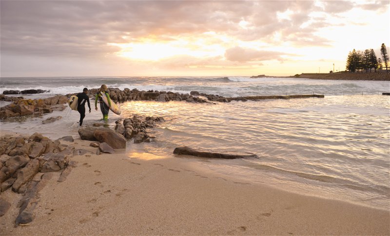
Mossel Bay’s Blue Flag Beaches
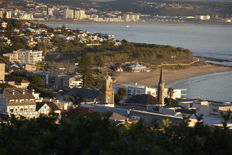
Mossel Bay have five WESSA blue flag beaches. We are very proud and happy that Santos beach, De Bakke beach, Hartenbos beach, Glentana and Klein Brakrivier beach are all part of this prestigious group of beaches in South Africa.
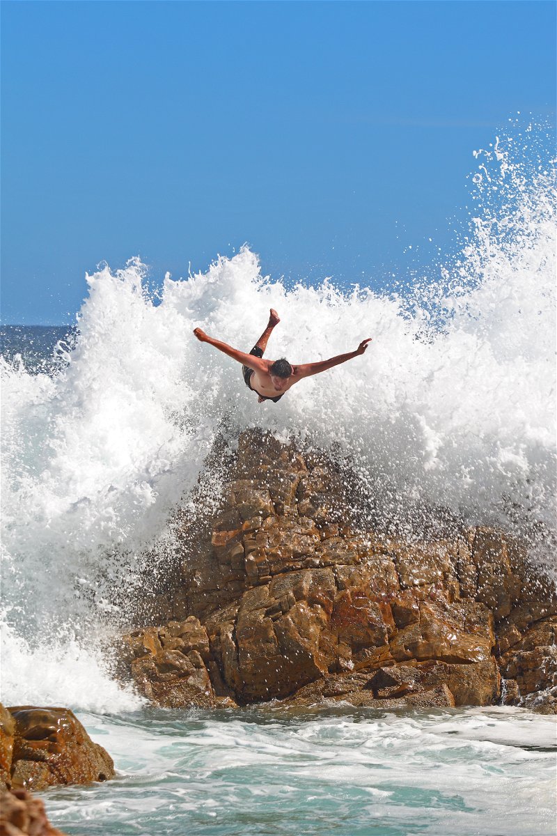
The greater Mossel Bay is home to no less than sixty kilometres of long, sandy beaches as well as beach-going weather throughout the year. There is also plenty of beach stuff to do in Mossel Bay like swimming, sailing, surfing, fishing and walking. Feel like doing nothing at all? That’s what everyone likes best at the beach, especially on beaches like ours.
What is a Blue Flag Beach?
A Blue Flag is an international award given to beaches, boats and marina’s that meet EXCELLENCE in the areas of safety, amenities, cleanliness and environmental standards. The strict criteria of the programme are set by the international coordinators of the Blue Flag campaign in Europe, the Foundation for Environmental Education (FEE). For more information visit the Blue Flag South Africa
Getting To Mossel Bay
Mossel Bay can be easily accessed by any travelling method.
Daily scheduled flights and intercity coach services are available from reputable suppliers.
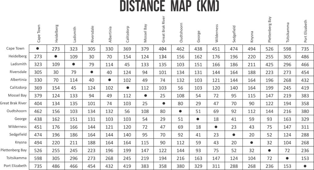
Mossel Bay is served by a domestic airport at George (with connecting flights to all major centres in South Africa) – and there’s the Mossel Bay Airfield for private, non-scheduled flights. George Airport (South Africa`s best regional airport) is 40 km from Mossel Bay and a quick 30 minute drive. Scheduled flights are available daily from local low cost carriers. From the airport you may choose to rent a vehicle or make use of the many transport providers available at the airport.
Share This Page